1
/
of
4
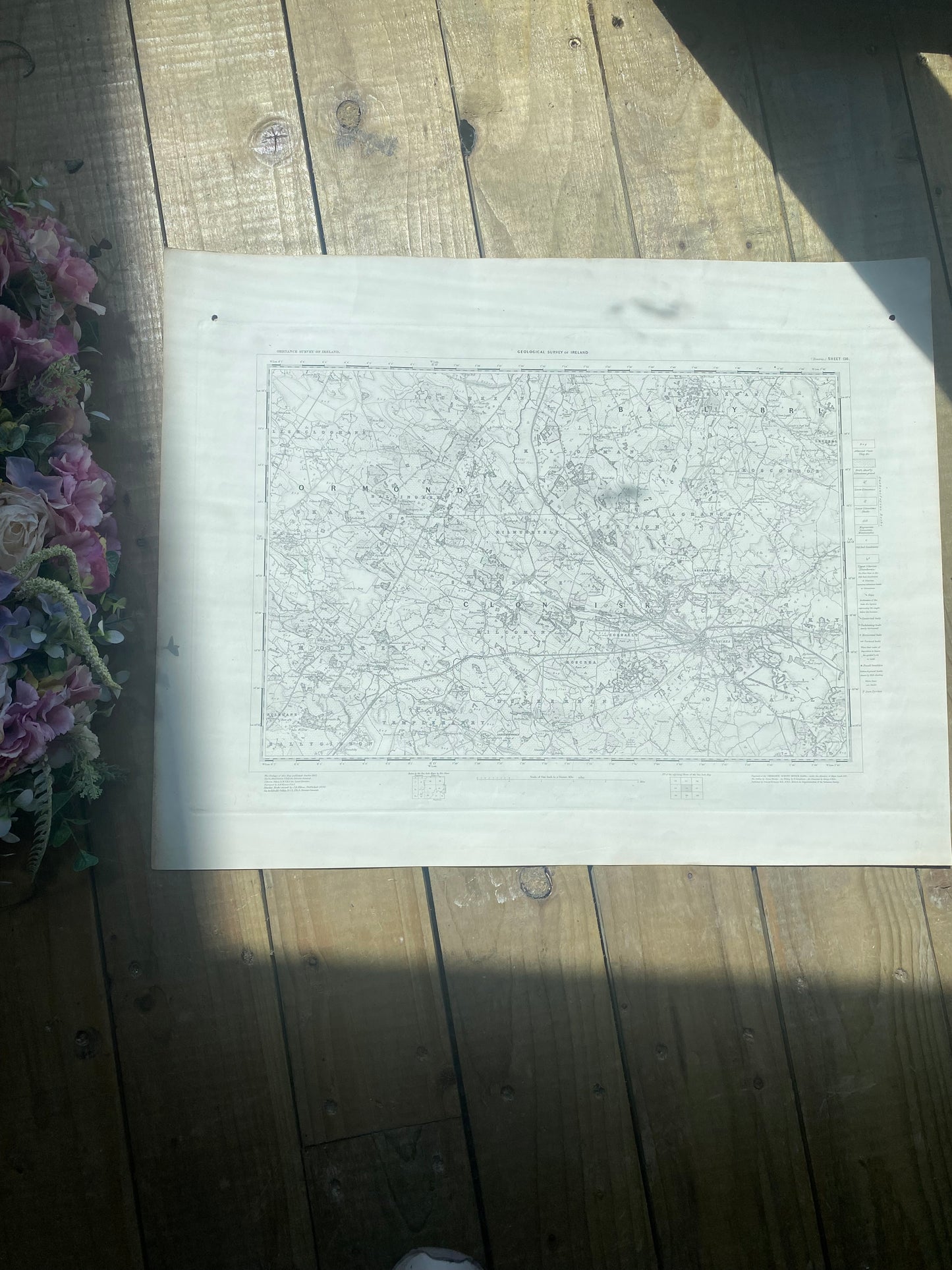
Antique Irish ordnance survey map- Tipperary 1862
Antique Irish ordnance survey map- Tipperary 1862
Regular price
€165,00 EUR
Regular price
Sale price
€165,00 EUR
Unit price
/
per
Shipping calculated at checkout.
Couldn't load pickup availability
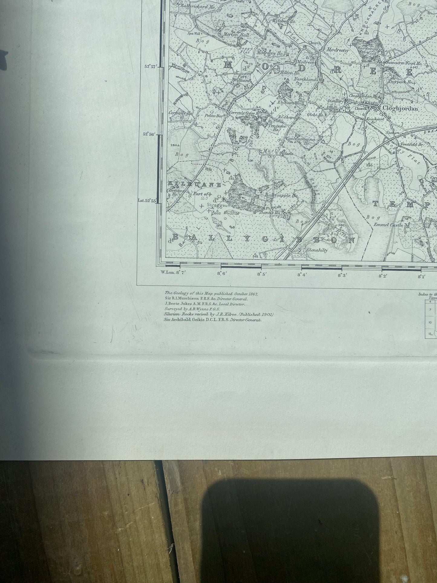
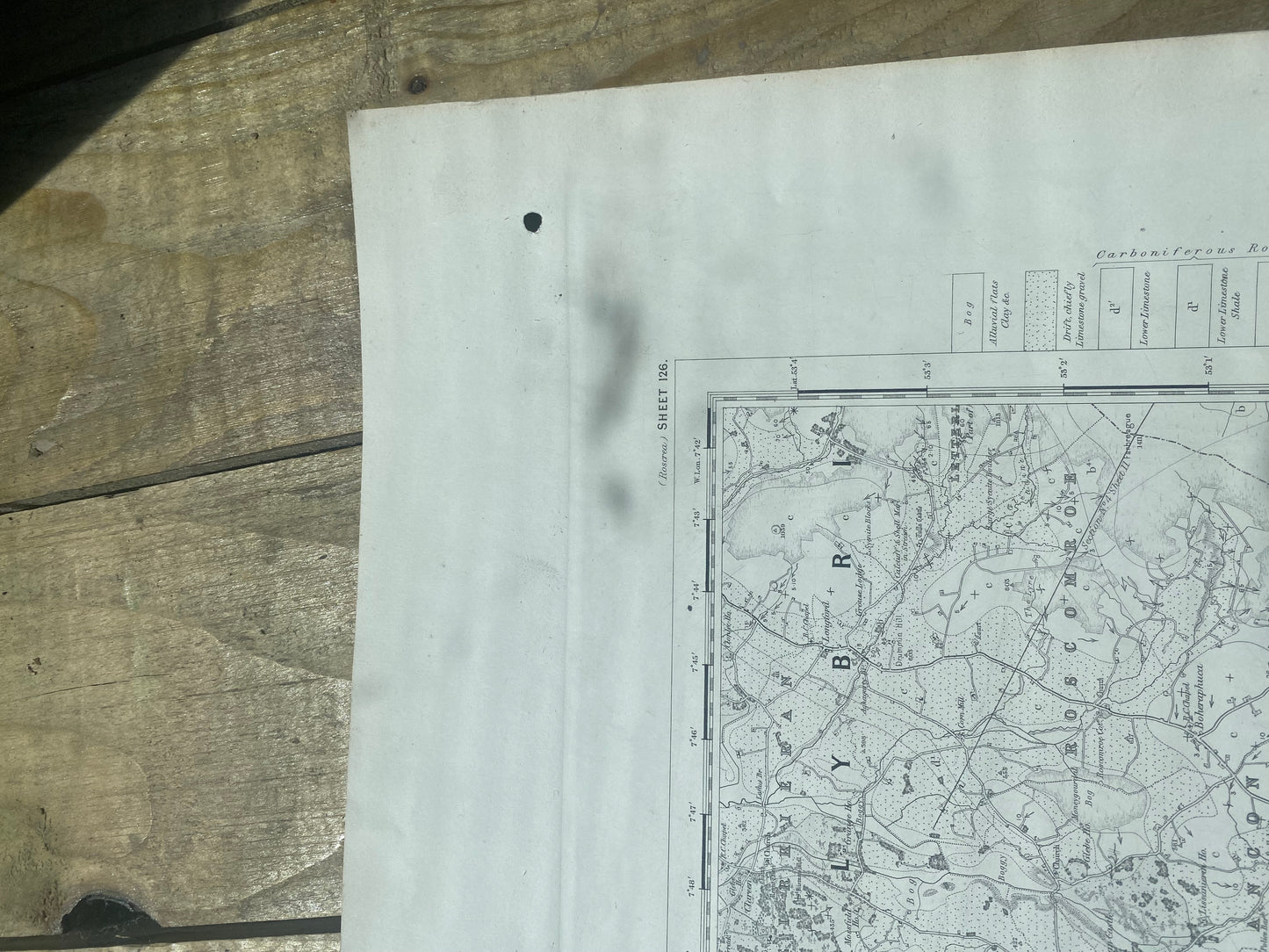
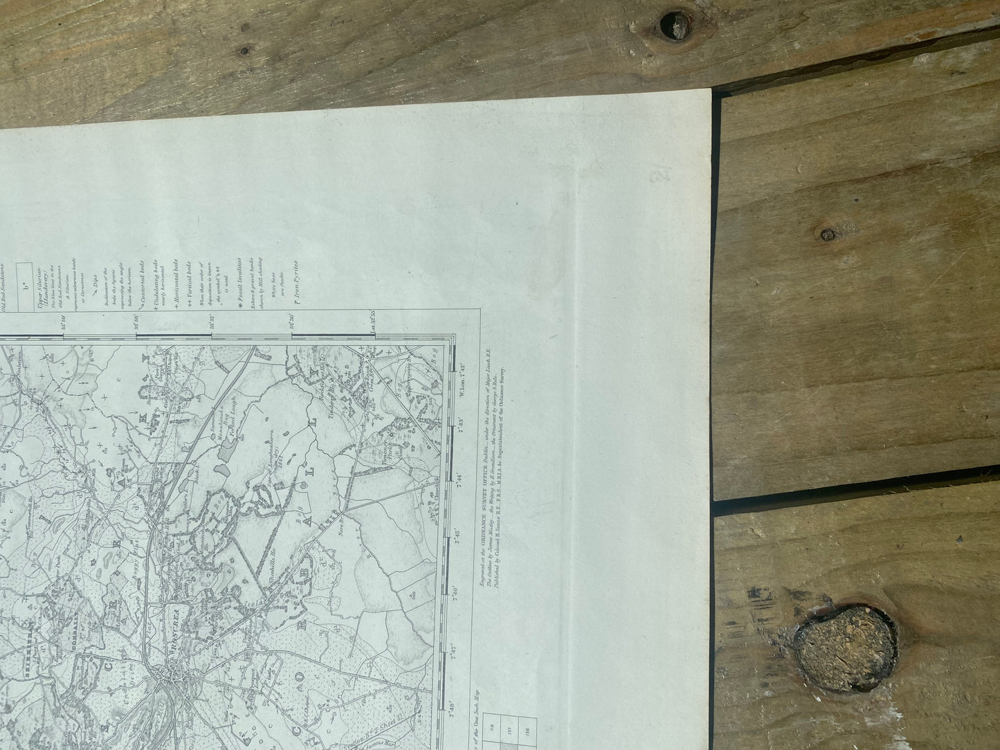
Geological survey of Ireland map of roscrea-clonlisk-corbally-cloghjordan-ballygibbon Co. Tipperary. Other counties.Sheet 126. Engraved at the ordnance survey office Dublin. First published 1862. Director general; Sir. R.I Murchison (1792-1871). Scottish geologist and member of Geological Society of London. Antique Map. 24 inch x 19 inch . Unframed . Victorian period.
Share


