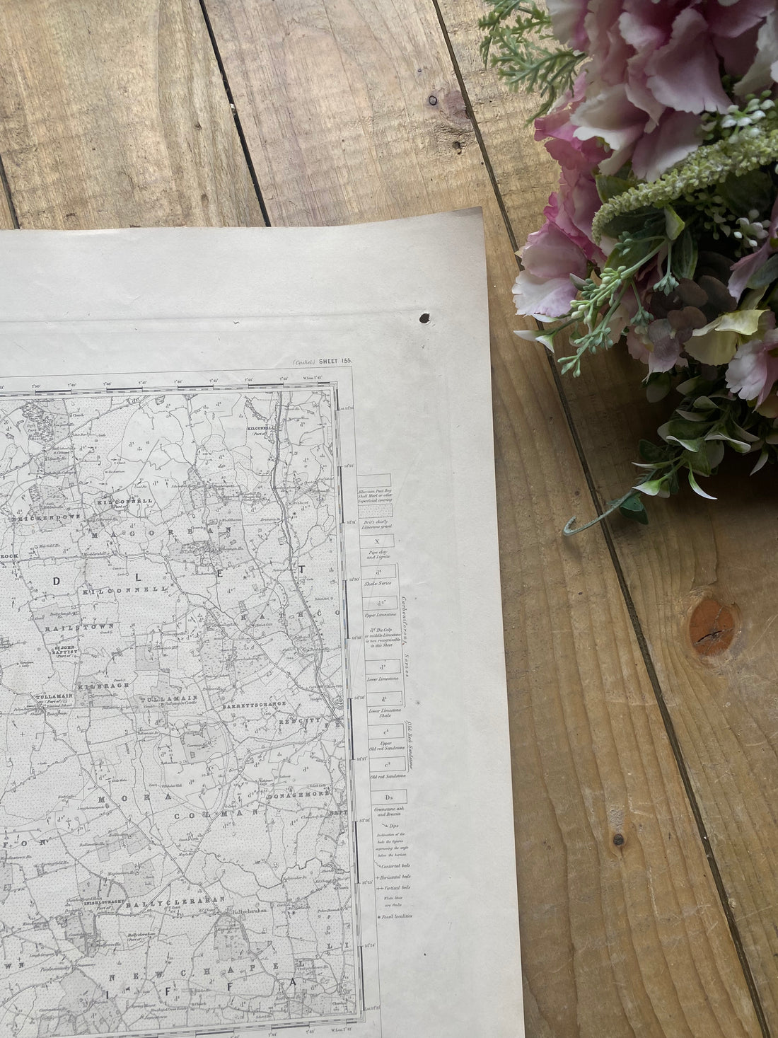
Lets explore the history of Ordnance Survey Ireland and Victorian Cartography.
Share
One of those fascinating people behind these maps was, Sir. Roderick Impey Murchinson, the director general of the British geographical survey from 1855 until his death in 1871. A Scottish geologist that started his young life in the military. Once he had left the military, he was encouraged to get into science, where he quickly became intrigued by geology and the study of rocks. He led many scientific explorations in the Victorian period and made many discoveries. Murchinson is noted for investigating and describing geographical systems. He has a legacy left around the world with many geographical locations named after him.
"The Ordnance Survey Office in Ireland was established in 1824. The Office was initially part of the British army under the Ministry of Defence. The Ordnance Survey Office was created to carry out a survey of the entire island of Ireland, for the purpose of updating land valuations for land taxation purposes. this original survey was completed in 1846 under the direction of Major General Thomas Colby. Ireland was the first country in the world to be completely mapped at the detailed scale of six inches to one mile.
In the course of surveying the country, the staff of the Office were responsible for a number of advances in surveying practice. These ranged from Drummond’s limelight to Colby’s Bar – the bimetallic parallel bars used to measure distance to a previously unattainable level of accuracy. The drive to improve technical capability has continued to remain a core value in ordnance survey work to the present day.
The Ordnance Survey Office was based in Mountjoy House in Phoenix Park, Dublin. Mountjoy House was originally built in 1728; it had housed the mounted escort of the Lord Lieutenant who resided in the nearby Vice-Regal Lodge (now Áras an Uachtaráin). Mountjoy House and its surrounding buildings still serve as our headquarters today.
The Office continued to operate as an agency of the British Ministry of Defence for 100 years until 1924 and the establishment of the new Irish Free State, when responsibility for it was transferred to the Irish Government’s Department of Finance. All staff employed by the Ordnance Survey Office were recruited through military channels until the 1970s, when the first civilian employees were recruited. The first female staff joined too at this time." www.tailte.ie
I hope Geologists, scientists and Irish history enthusiasts will delight in reading this and discovering what we have in store.
